
Arizona Water Destinations: Find Your Region, Find Your Water
Not sure which lake is right for you?
We put together the Arizona Lake Comparison Guide, a free PDF that stacks up 10 lakes side by side across crowd factor, water quality, best activities, and seasonal timing. No fluff, just the info you need to pick your next trip.
Arizona doesn’t have one water scene, it has four completely different ones.
From the canyon-carved desert reservoirs ringing Phoenix to the wild Colorado River towns along the western border, the high-country lakes hiding above 7,000 feet near Flagstaff, and the quiet sky island gems of the south, each region delivers a distinct experience.
This page is your map. Pick your region and dive in.
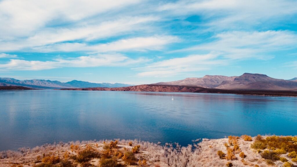
Central Arizona
Desert Reservoirs & River Country
The character: This is Arizona’s water heartland. The Salt and Verde Rivers carve through the Tonto National Forest and feed a chain of reservoirs that stretch from the edge of the Phoenix metro all the way into the high desert. Canyon walls, saguaro-studded shorelines, and warm water from late spring through fall make this region the busiest, most accessible, and most versatile water playground in the state. It’s where most Arizonans spend most of their weekends on the water.
Key Water Spots:
Lake Pleasant
Saguaro Lake
Canyon Lake
Bartlett Lake & Roosevelt Lake
Best for: All-around recreation such as boating, wakeboarding, kayaking, fishing, tubing the Lower Salt River, and scenic boat cruises through desert canyons.
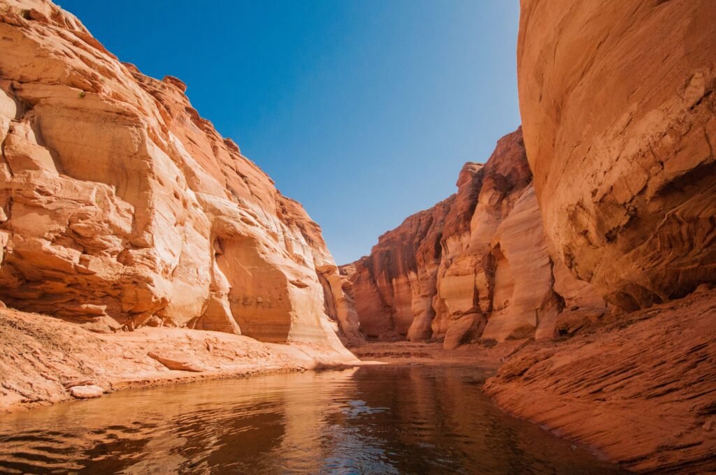
Northern Arizona
High Country Lakes & Canyon Rivers
The character: Drive two hours north of Phoenix and the saguaros give way to ponderosa pine, and the temperature drops 20 to 30 degrees. Northern Arizona’s lakes sit at around 7,000 feet in elevation, which means glassy mornings, cool water, and scenery that looks nothing like the desert you left behind. This is also Grand Canyon country, where the Colorado River cuts one of the most iconic whitewater corridors on the planet. Whether you want a quiet paddle on a pine-ringed lake or a multi-day rafting expedition, Northern Arizona delivers both.
Key Water Spots:
Lake Powell (Page/Glen Canyon)
Upper Lake Mary (Flagstaff)
Mormon Lake (Flagstaff)
Colorado River through the Grand Canyon
Best for: High-country fishing and paddling, houseboating on Lake Powell, Grand Canyon whitewater rafting, and cool-weather escapes from the Valley heat.
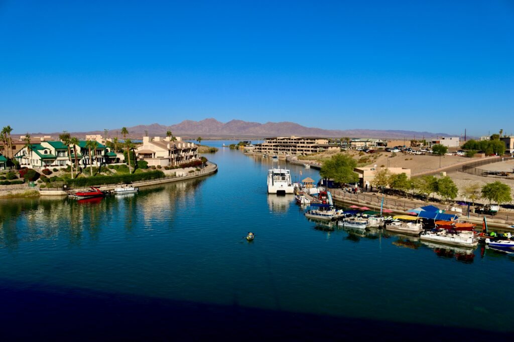
Western Arizona
Colorado River Country
The character: Arizona’s west coast runs along 140-plus miles of the Colorado River, and it plays by its own rules. Lake Havasu City has been dubbed the Personal Watercraft Capital of the World, and that reputation is earned every single weekend from spring through fall. This region is wide open, hot, and built for speed. Massive lakes, endless shoreline, and a culture that revolves entirely around getting on the water make Western Arizona the go-to destination for boaters, jet skiers, and anyone who wants to spend a week living on a houseboat.
Key Water Spots:
Lake Havasu
Lake Mohave
The Parker Strip (Colorado River)
Cattail Cove State Park
Best for: High-speed boating, jet skiing, houseboating, bass fishing, and all-out river recreation with a party atmosphere.
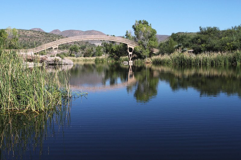
Southern Arizona
Sky Island Lakes & Hidden Water
The character: Southern Arizona is the state’s best-kept water secret. Most people skip it entirely, which means less competition for the fish, quieter launch ramps, and a pace that feels nothing like a holiday weekend at Lake Havasu. Patagonia Lake State Park sits at 3,750 feet elevation, about 80 miles south of Tucson, surrounded by rolling desert hills, Sonoita Creek riparian habitat, and one of the best birding corridors in North America. Rose Canyon Lake near Mount Lemmon adds a pine-forest dimension that most visitors never discover. This region rewards the curious traveler who takes the time to look past the obvious.
Key Water Spots:
Patagonia Lake State Park
Rose Canyon Lake (Mount Lemmon)
Roper Lake State Park (Safford)
Arivaca Lake
Best for: Fishing, kayaking, quiet paddling, wildlife watching, and lakeside camping without the crowds.
Explore All Regions on the Arizona Water Map
Every lake, river, and water destination on this page is plotted on our interactive Arizona Water Map.
Filter by region, activity type, or distance from your starting point to build your own trip. Whether you are planning a half-day from Phoenix or a full week on the road hitting multiple regions, the map gives you the full picture in one place.